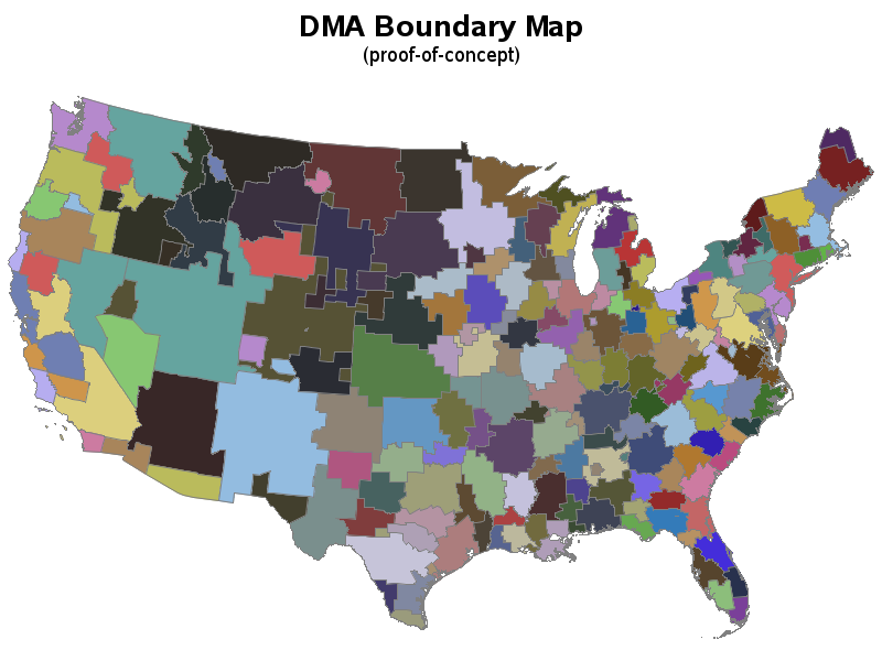
created using numeric DMA info in maps.usaac
and combining that with mapsgfk.us_counties
then removing internal boundaries with 'proc gremove'